← All carousels

The map has a word for every way land meets sea.

Eight landforms decoded — you've seen all of these, you probably can't name half.
Cover — the map has a word for every way land meets sea.
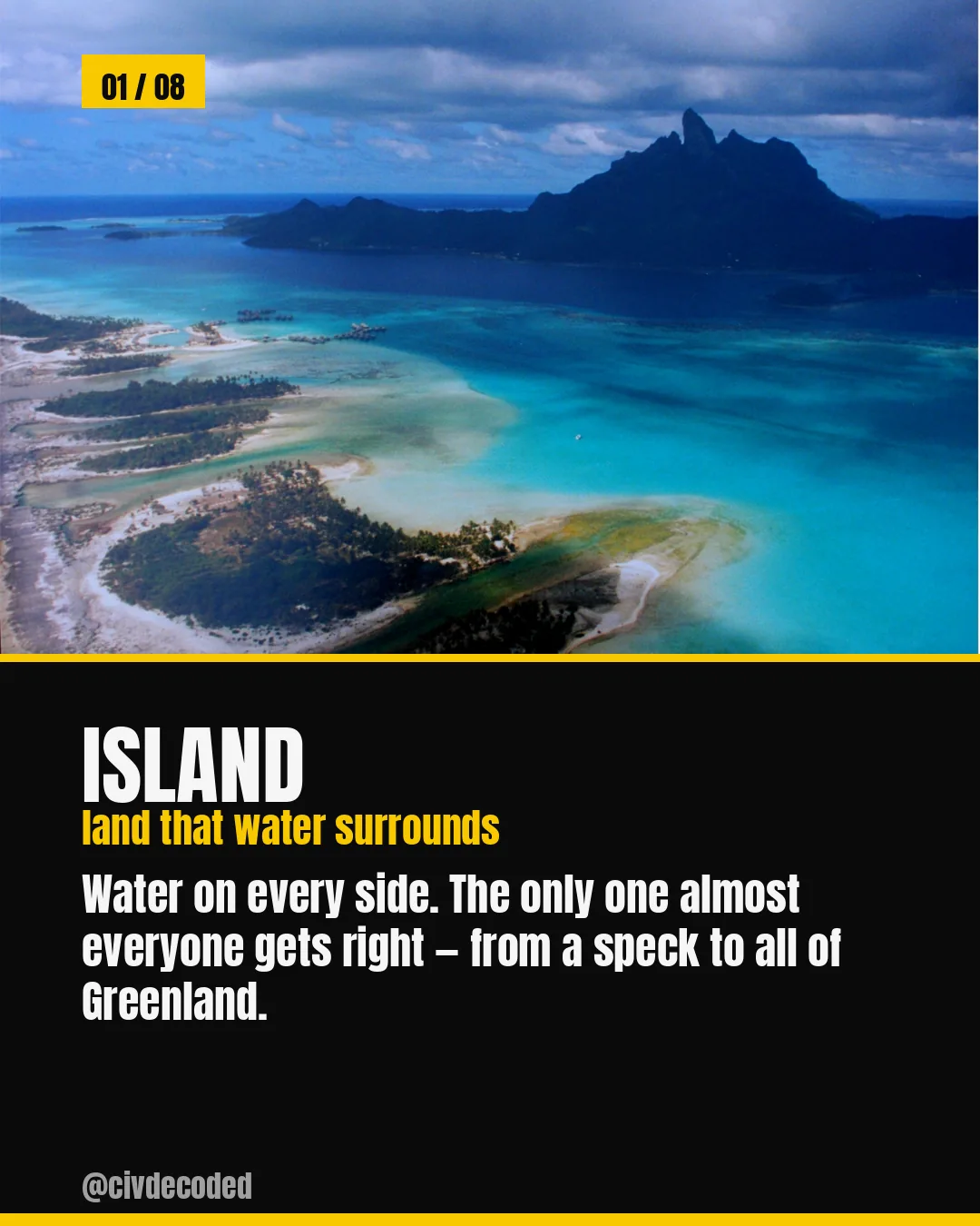
Island — land that water surrounds, from a speck to all of Greenland
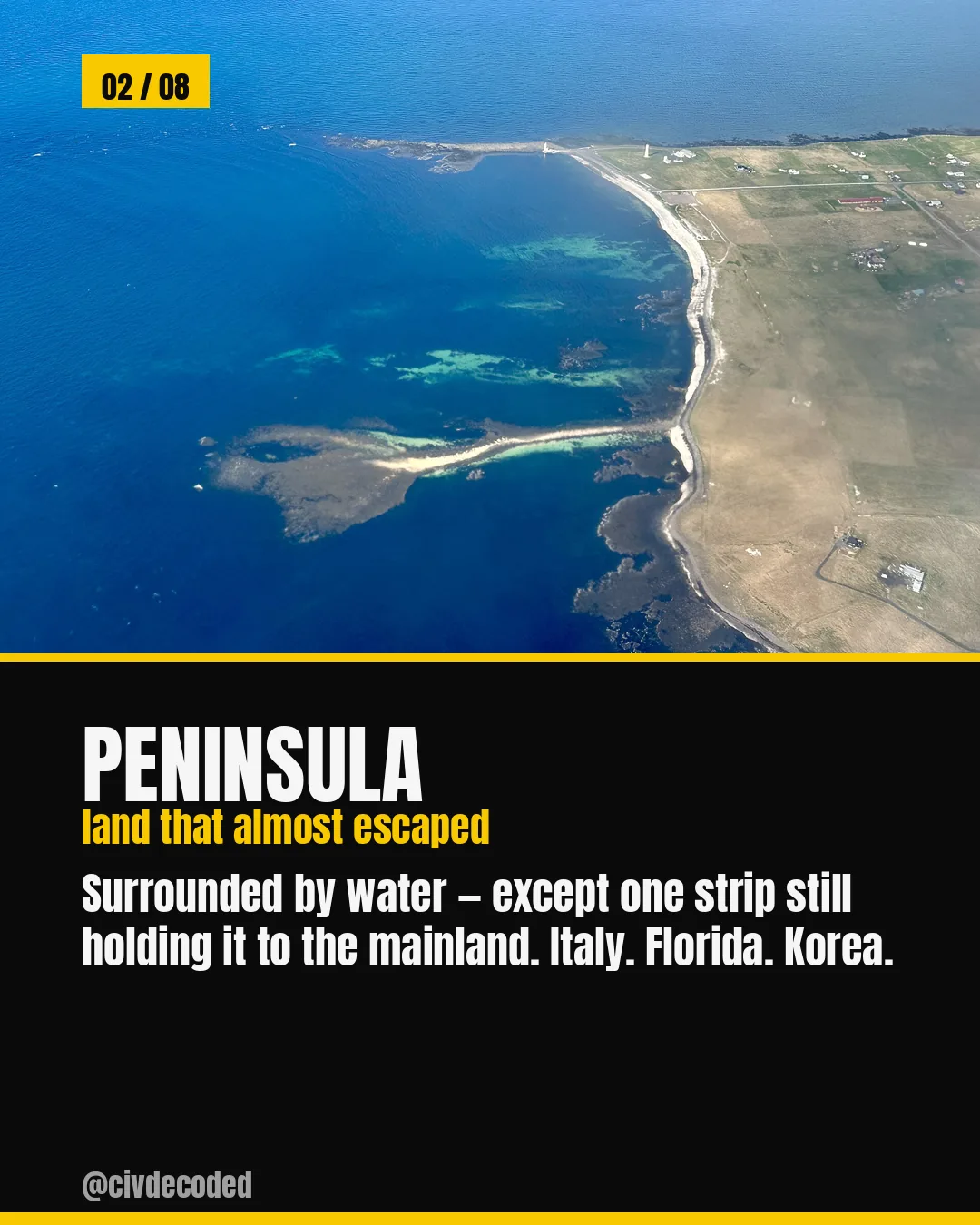
Peninsula — land that almost escaped, surrounded by water except for one strip still holding it to the mainland, like Italy, Florida, or Korea
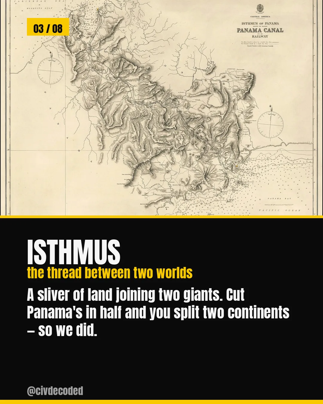
Isthmus — a sliver of land joining two giants, like Panama, where cutting it split two continents
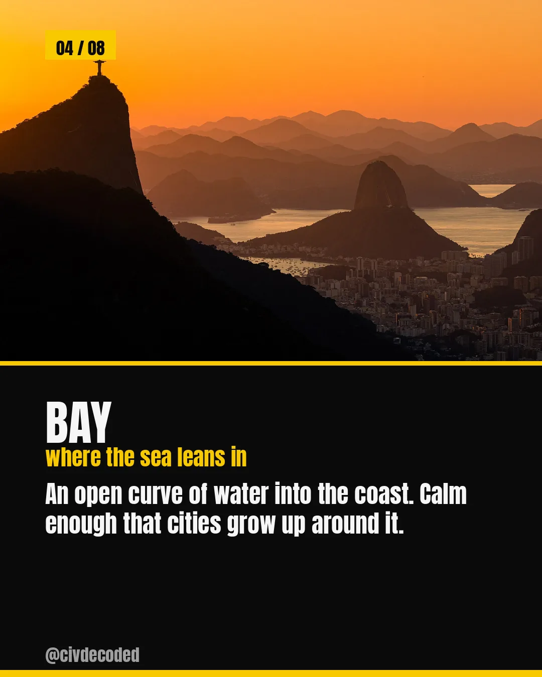
Bay — an open curve of water into the coast, calm enough that cities grow up around it
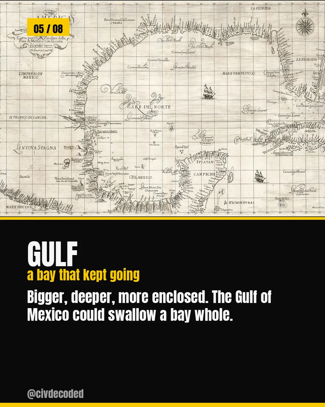
Gulf — a bay that kept going, bigger and more enclosed, like the Gulf of Mexico
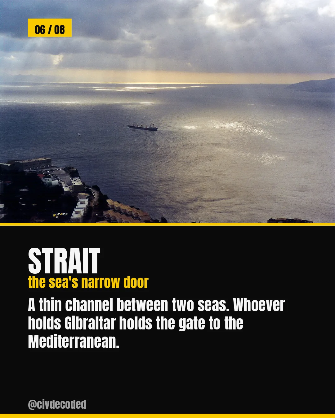
Strait — a thin channel between two seas, like Gibraltar, gateway to the Mediterranean
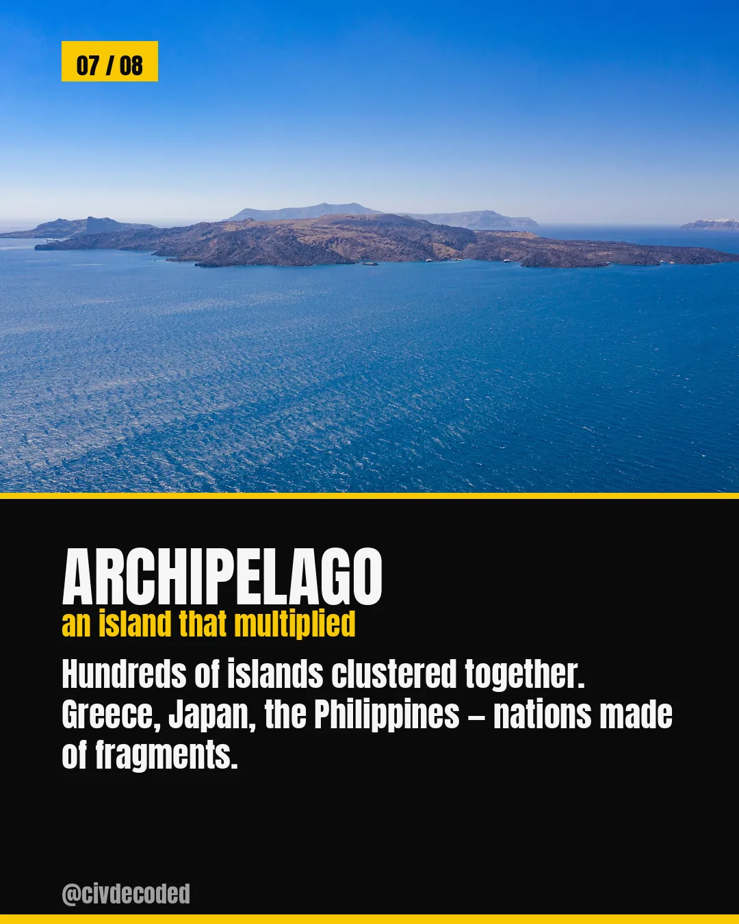
Archipelago — an island that multiplied into hundreds, forming nations like Greece, Japan, and the Philippines
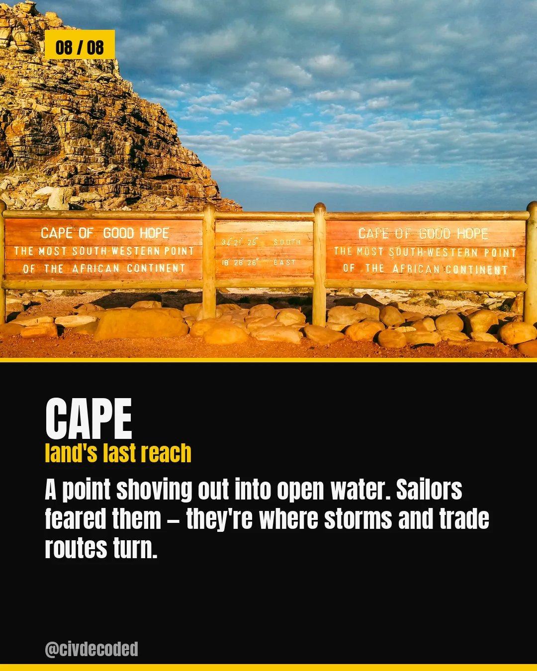
Cape — land's last reach into open water, where storms and trade routes turn
Follow CivDecoded for more history, decoded through data.

1 / 10

An island, a peninsula, an isthmus — the map has a precise word for every way land meets water. From Bora Bora's island to Gibraltar's strait to the archipelagos that became entire nations like Greece and Japan, these eight terms are the vocabulary behind every coastline you've ever looked at.